
25 January 2026
Will it snow at Christmas?

Will it snow at Christmas? That question sits between a cultural expectation and a meteorological probability, and it often shapes how families plan gatherings and what people wear on the day.
What counts as a white Christmas
The official definition used by DMI is precise: snow cover greater than 0.5 cm across at least 90 percent of the country on the afternoon of 24 December. By that standard, nationwide white Christmases are rare and notable events.
How predictable snowfall is before December
Short-range weather models become useful only in the final weeks before Christmas. Practical forecasting for confident regional predictions typically falls into a roughly ten to sixteen day window. Statements made many months ahead remain probabilistic and cannot determine whether a specific location will see snow on the 24th.
Baseline chances and what they mean for you
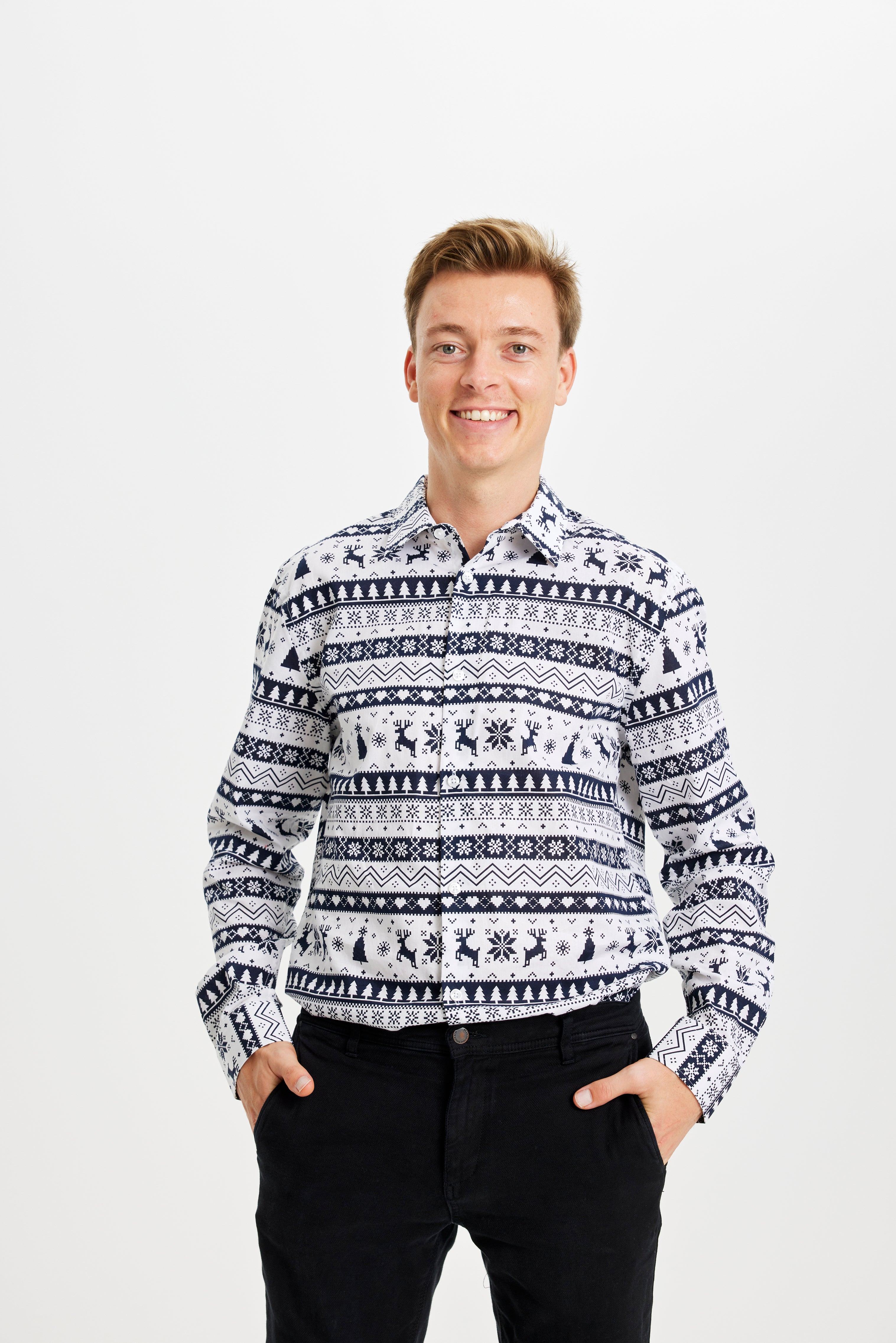
Historically the chance of a nationwide white Christmas is low while local and regional outcomes vary considerably. Even if the national probability looks slim, certain inland and northern areas tend to have higher odds than coastal or urban zones. Whether or not snow appears, the day itself still offers moments for family photos and small traditions, and a festive wardrobe can help set the tone. Consider pairing an ugly christmas sweater with matching christmas socks for a casual family portrait, or pick a kids christmas sweater if the children will be front and center during the celebrations.
Next steps as the date draws near
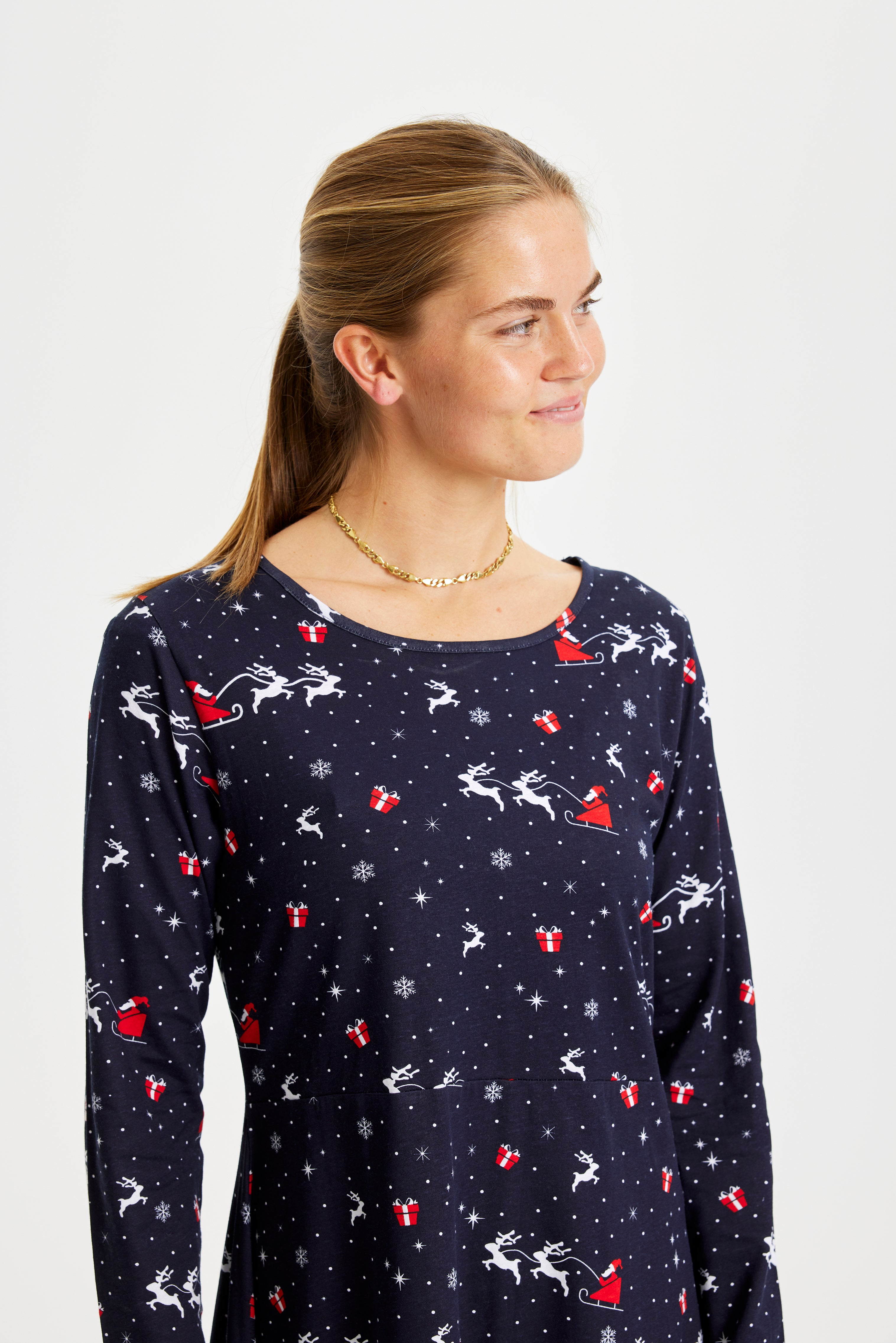
If you want a clearer answer for a specific year, check updated short-range forecasts during the second half of December. Until then, the sensible approach is to treat early seasonal outlooks as background context and to plan traditions that work equally well with snow or without it. A reliable christmas sweater or a set of christmas pajamas can keep the mood festive regardless of the weather, and they are easy additions to gatherings whether you get the white Christmas you hoped for or not.
Historical frequency and notable years
Observational records show that fully nationwide white Christmases are exceptional, with seven occurrences recorded since 1900. Several recent winters stand out for substantial snow cover on the afternoon of 24 December: 2010 featured widespread depths commonly between 10 and 30 centimetres, 2009 presented more moderate accumulations around 5 to 15 centimetres in many areas, and 1995 also delivered 5 to 20 centimetres across inland districts. These events are useful reference points because they illustrate the conditions needed for a broad white Christmas rather than everyday variability.
Seasonal patterns and regional variation
First snow typically arrives in November, while an October first snow is uncommon. Local geography plays a clear role: inland and northern highland areas historically have higher odds of seeing snow on Christmas Eve, whereas coastal and urban locations tend to be milder and receive less persistent cover. That means even in years without a nationwide white Christmas you can still expect pockets of snow in colder inland zones.
Climate projections and recent context
Longer term analyses point to substantial reductions in both snow days and ice days over the coming decades. Estimates indicate an average fall from roughly 9.3 snow days per year in late twentieth century baselines to about 1.9 days by the closing decades of this century, and a decline in ice days from around 13 days to near 1.7 days per year. Simultaneously, the frequency of very wet winters is projected to rise markedly, and some recent seasons illustrate that shift: the winter of 2023/24 ranked among the wettest on record since the late nineteenth century.
Why winters are changing
The underlying mechanism is straightforward: a warmer atmosphere can carry more water vapour, which increases precipitation potential. When temperatures are marginal, that extra moisture is more likely to fall as rain or a rain-snow mix rather than accumulate as long-lasting snow cover. The result is fewer sustained snow days, later onset of the season’s first snow, and a higher likelihood of thaw-and-freeze cycles that prevent broad white cover from persisting through the holiday period.
Practical takeaways and wardrobe ideas
Given the relatively low chance of a nationwide white Christmas, focus on flexible planning that works with or without snow. For gatherings and photos, a festive outfit still sets the tone: a classic christmas sweater works well outdoors if temperatures dip, and matching christmas pajamas make for cosy indoor portraits regardless of weather. For families with young children consider a kids christmas sweater as a fun focal point, and if you prefer coordinated sleepwear a set of christmas pajamas keeps the look consistent across ages.
How the data shapes expectations
Historical counts and projections are best used as guideposts rather than guarantees. The rare years with widespread snow show what is possible under the right setup of cold air and heavy precipitation, while the long-term decline in snow and ice days explains why those years are becoming less frequent. If you want a more local read on probabilities as the season approaches, check updated short-range forecasts in mid to late December for the most actionable information.
For a quick look at seasonal wardrobe options that suit either scenario, see a selection of christmas sweater styles and browse coordinating christmas pajamas to keep plans festive whether the ground is white or bare.
Current probability estimates and regional variation
By now you know that a nationwide white Christmas is uncommon. Broadly speaking, historical and recent analyses put the chance of the whole country having more than 0.5 cm of snow on the afternoon of 24 December at roughly 7 percent. A patchy, mixed outcome where parts of the country are white while others are bare sits at about 25 percent. The most likely outcome remains a mild, gray Christmas with rain, sleet or bare ground in large regions, close to 67 percent.
The numbers tell a calm story rather than a certainty. Smell the pine and warm baking, and imagine stepping out in the crisp air; those sensory moments are not limited to snowy scenes. Still, local geography matters. Northern Jutland and inland highlands hold colder pockets and therefore higher odds of snow on the 24th. Coastal areas and southern stretches, warmed by the sea, tend to lose snow cover faster. Urban centres often stay milder because of heat from buildings and traffic, so a town square might be slushy while nearby countryside keeps a delicate dusting.
Practical probability guide for readers
To make the statistics easier to use, think in three simple categories. Each description explains what you are likely to find on the ground and in the air.
- Nationwide white Christmas. Approximate chance around 7 percent. Typical outcome: Snow cover above 0.5 cm across most of Denmark, like the notable year of 2010 when inland areas reported double-digit centimetres.
- Mixed or patchy snow. Approximate chance around 25 percent. Typical outcome: Snow in parts of the country, clear or bare ground elsewhere, with thaw-and-freeze rhythms that give only pockets of white.
- Mild and gray Christmas. Approximate chance around 67 percent. Typical outcome: Rain, sleet or bare ground over large regions, with damp, fragrant streets and the sound of carols drifting from living rooms.
As the festive season approaches, forecasts become more meaningful. Regional predictions start to gain useful detail roughly ten to sixteen days before the 24th. Until that window, treat any long-range suggestion as a gentle nudge rather than a promise. When the air turns cold and snowflakes begin to fall, the experience is heightened by textures and warmth: the soft thickness of a knit, the faint scent of wood smoke, the crisp sound of footsteps in fresh snow.
Whether you see broad white fields or a wet, green landscape, there are simple ways to make the day feel special. Slip into a christmas sweater or a set of cosy pajamas, wrap a wool blanket around your shoulders and let the music and baking set the pace. A comfortable outfit adds warmth to outdoor moments and brings a homely glow indoors when the rain drums against the windows.
When to check updated forecasts
Plan with flexibility. If you want a reliable local answer, watch forecasts from national services and local meteorologists during the second half of December. Short-range models will tell you whether cold air and snowfall are lining up for the 24th. Until then, keep traditions that work whether the ground is white or bare, and enjoy the textures of the season: the warmth of knitwear, the scent of orange and spice, and the soft light of candles.
Frequently asked questions
What exactly counts as a white Christmas in Denmark?
Snow cover of at least 0.5 cm across 90 percent or more of the country on the afternoon of 24 December, according to national meteorological rules.
How many times has Denmark had a nationwide white Christmas?
Observational records show seven nationwide occurrences since 1900.
What are the current odds of a white Christmas for a given year?
Broad historical estimates place the chance of a nationwide white Christmas at around 7 percent, with mixed or local snow about 25 percent and a largely snow-free Christmas around 67 percent.
When can I expect a reliable forecast about snow on Christmas?
Forecasts become usefully specific roughly ten to sixteen days before 24 December. Earlier seasonal outlooks indicate tendencies but cannot predict a single date with certainty.
Also view

26 January 2026
When should you say Merry Christmas? Use it freely in the days leading up to and on Christmas Day as a friendly seasonal greeting. In ...