

25 December 2025
Will there be a white Christmas this year?

“Will there be a white Christmas this year?” is a question that sits between immediate weather uncertainty and longer-term changes in climate, and it often carries a lot of personal expectation about how the season should look. Whether you wake up to snow or rain this December depends on two very different clocks: the one that runs days to weeks ahead, and the one that measures decades.
Meteorological definition
A common standard used by many national weather services: At least 0.5 cm of snow on the ground on 24 December across a large majority of a country. That technical definition helps separate a thin local dusting from a truly widespread white Christmas.
Why the question is twofold
Short-term: Depends on synoptic weather patterns in the run-up to 24 December, so forecasts and ensemble model probabilities published in the final two weeks give the best practical guidance. Long-term: Influenced by climate trends that change how often temperatures dip below freezing and how much winter precipitation falls as snow versus rain.
Regional variation
Chances differ strongly by location; inland and higher-elevation areas usually have a higher probability than coastal lowlands. And even when national coverage is unlikely, local snow events around towns and hills can still produce the picture-perfect scenes people hope for.
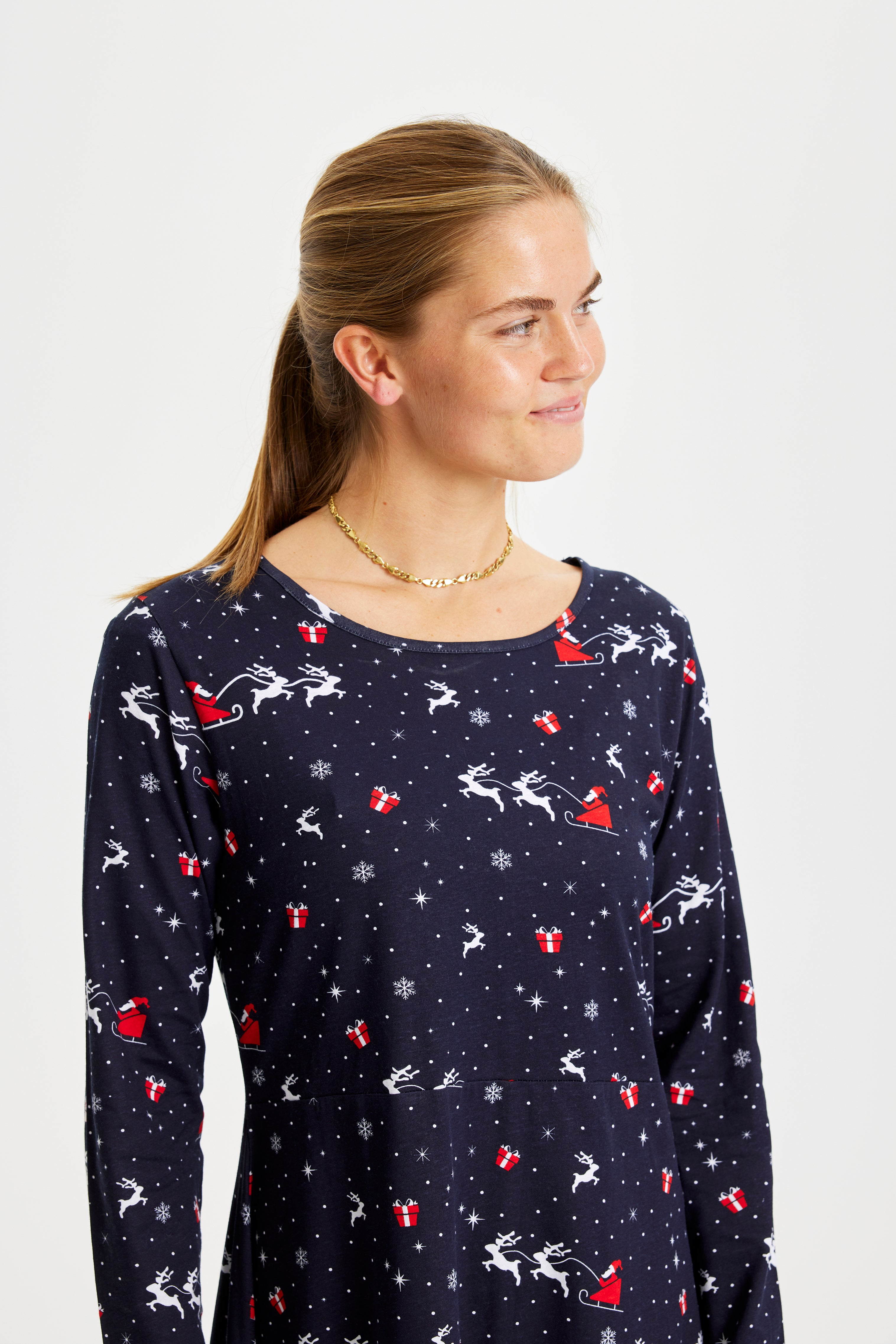
Whatever the forecast, traditions and outfits help keep the feeling of the season alive. Pulling on a favorite Christmas sweater, matching christmas pajamas or a playful ugly christmas sweater keeps family photos cozy even without snow; for the little ones, a kids christmas sweater does the trick just as well.
Historical frequency and what the records show
When people ask will there be a white Christmas this year, they often mean two things at once: how likely is snow on 24 December this time around, and how common are truly widespread white Christmases in the long run. Observational records show that nationwide coverage of at least 0.5 cm on Christmas Day has been uncommon. Most winters deliver only local or patchy snow, while years with broad, country‑wide snow cover are remembered precisely because they stand out.
Short-term forecast mechanics and what matters
Weather models give the most reliable guidance in the one to two week window before Christmas. To judge the odds of snow on 24 December look for three practical signals in forecasts and model output.
- Surface temperatures near or below freezing during the precipitation window increase the chance that precipitation falls as snow rather than rain.
- The vertical temperature profile of the atmosphere matters more than a single air temperature; a warm layer aloft can turn falling snow into sleet or rain even if ground temperatures are cold.
- Timing of precipitation relative to cold spells is decisive: a brief warm front that passes before a cold push will often eliminate snow potential, whereas a cold front followed by moisture makes snow more likely.
Deterministic model runs can show a tempting, detailed scenario for Christmas Day, but ensemble forecasts are better for expressing uncertainty. Wide dispersion among ensemble members means low confidence even if some runs show snow.
Climate context and long-term projections
Climate analyses indicate a general decline in the number of days with snow and frost as average winter temperatures rise. This does not mean a white Christmas is impossible in any given year; rather, the baseline probability shifts so that widespread Christmas snow becomes less frequent over decades. Seasonal variability still allows for memorable snowy Decembers, but the statistical expectation evolves toward milder, wetter winters with more precipitation falling as rain.
Translating probability into planning and celebration
Because long-term change and short-term weather operate on different timescales, a practical approach is to follow forecasts closely in the fortnight before Christmas while appreciating that historical odds are reduced compared with earlier eras. If you want to prepare for either outcome, think in layers: choose festive garments that look great whether the day is white or grey. A classic Christmas sweater makes for a cheerful photo even without snow, and coordinating sleepwear keeps bedtime cozy after a busy day.
See our selection of Christmas sweater for timeless patterns, or explore matching options like mens christmas sweater and womens christmas sweater to assemble outfits for the whole household. If a relaxed morning is part of your holiday plan, consider soft christmas pajamas for family photos and lingering breakfasts.
Cultural note and practical tips
The image of a white Christmas persists because it is powerful and widely shared across songs and films. For readers focused on the immediate question will there be a white Christmas this year, keep these tips in mind when scanning forecasts: check ensemble probabilities rather than single runs, watch for a cold layer above the surface that can change precipitation type, and remember that local terrain often makes the difference between a dusting and a full carpet of snow.
Final practical idea: set up a simple holiday plan that works in any weather. Pick outfits early, have a warm drink ready for outdoor photos if snow arrives, and keep alternate indoor activities lined up in case rain wins the day. That way the season feels special whether the calendar delivers white scenery or not.
Where snow is still most likely on Christmas
As you scan forecasts in December, remember that geography still matters. Inland valleys and higher terrain retain a higher baseline chance of snow on 24 December than coastal lowlands. Northern districts often hang on to colder nights longer, and those extra frosty hours make the difference between a dusting and a lasting cover. That means when model probabilities look marginal, pack a camera and a warm layer if you are headed to upland areas; the smell of pine and freshly baked treats will feel all the more magical if a thin white blanket appears.
Common misconceptions clarified
People often conflate two ideas: snow on Christmas morning and a nationwide white Christmas by the strict meteorological definition. Local patches of snow can transform a street or park into a scene right out of a carol, while the national criterion requires several regions to be covered at once. Another trap is reading a single model run as certainty. Individual runs may paint a dramatic picture, but ensemble outputs show how many plausible outcomes exist. Finally, long-term warming shifts the odds downwards, yet cold snaps remain possible. A memorable snowy December can still happen, even if the statistical baseline slowly changes.
How to read the maps and charts
When you see a map showing probability of at least 0.5 cm on 24 December, check whether it compares historical baselines with late-century projections. A helpful map will show today’s climatological odds beside a projected scenario for the end of the century so you can see the change in place. Trend lines for December snow days tell the same story: a gradual decline in average snow days, with seasonal spikes still visible. These visual tools make the difference between an anecdote and a pattern.
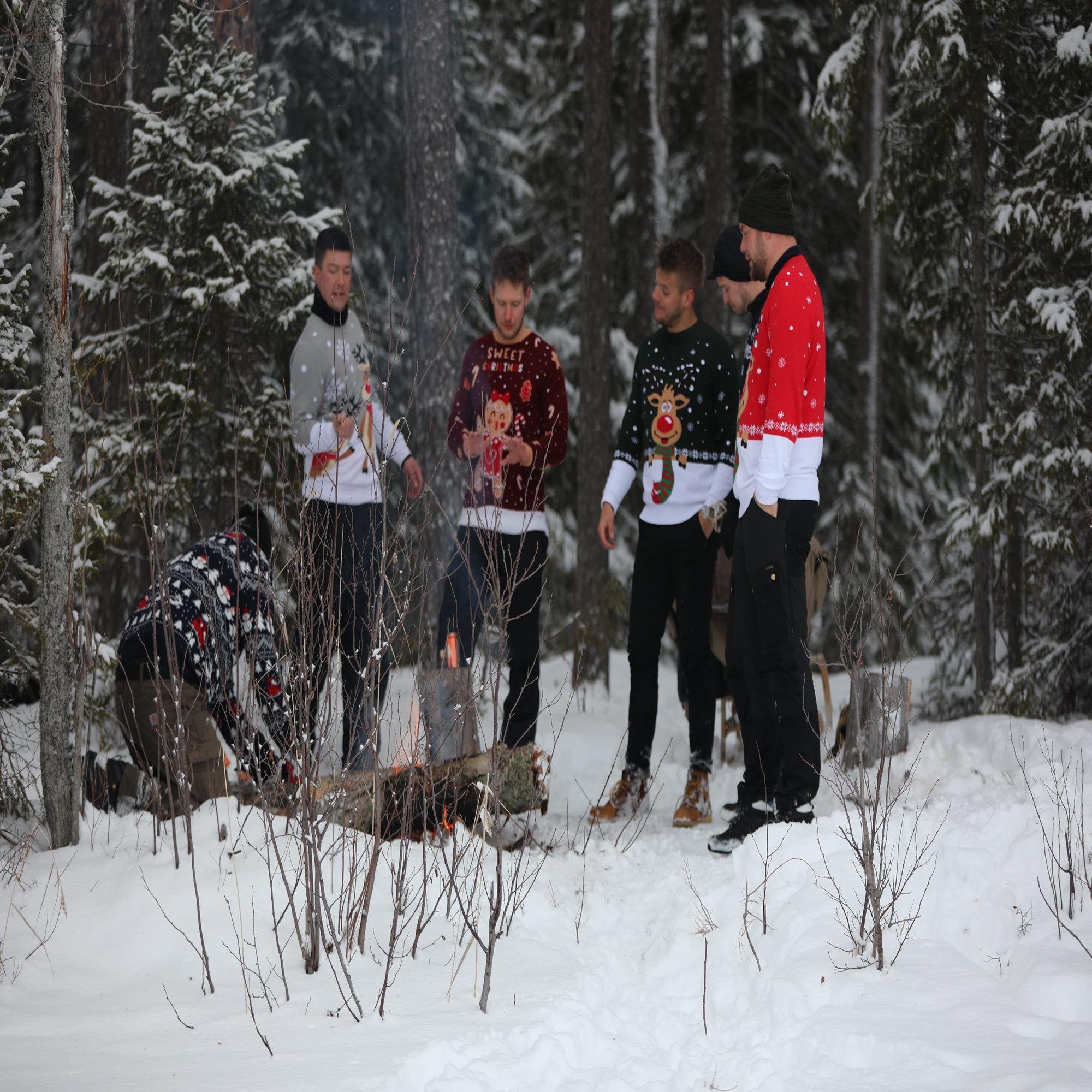
Practical winter plans that work in any weather
Because forecasts can flip in the last two weeks, prepare for both outcomes. Choose festive layers that look great whether the sky delivers glittering flakes or gentle rain. A soft Christmas sweater paired with a thermally lined coat and thick socks keeps hands warm while you hang lights, and a set of cozy pajamas invites slow, candlelit mornings regardless of what falls outside. The warmth of knit against the skin, the gentle crackle of a playlist of carols, and the scent of orange peel and cinnamon can create the sense of a white Christmas even when the ground is bare.
For a simple way to anchor that feeling, slip into a classic christmas sweater before stepping out to take photos or to sip a warm drink by the window. The garment becomes part of the tradition, linking image and memory whether snow covers the lawn or not.
Frequently asked questions
Will there be a white Christmas this year?
That depends on short-term weather developments. Follow probabilistic forecasts and model ensembles in the two weeks before 24 December for the best current estimate.
How is a white Christmas defined?
Many meteorological definitions use at least 0.5 cm of snow on the ground on 24 December across a large share of a country to distinguish local dustings from widespread coverage.
How often has a nationwide white Christmas occurred historically?
Historically, nationwide white Christmases are uncommon. Local snow is far more frequent than nationwide coverage, so memorable white Christmases often stand out in the record.
Is a white Christmas becoming less likely?
Yes. Climate projections show fewer snow and frost days over coming decades, which lowers the long-term probability of widespread Christmas snow even though individual snowy Decembers still occur.
Can meteorologists predict a white Christmas months in advance?
No. Seasonal tendencies can hint at milder or colder months, but reliable day-specific forecasts for snow are generally limited to about 7 to 14 days ahead.
Could local snow still arrive even if a national white Christmas is unlikely?
Yes. Local or regional snow events can and do happen in years without nationwide snow cover, especially in inland and higher areas.
Also view
15 January 2026
Picture a small family movie night by the tree: soft lights, low conversation and a stack of options for christmas movie recommendatio...